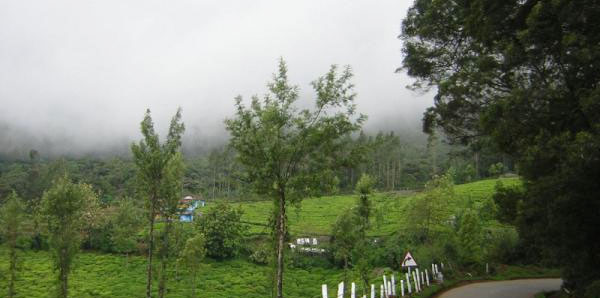
The Geography of India is as diverse and contrasting as its culture, heritage and traditions. Scattered over the area of 3287,263 sq km, Indian Geography encompasses a series of unique and Technicolor landscapes - lofty Himalayas and dense rainforests, flourishing farms and tawny deserts.
 The unique geographic features of Indian topography vary throughout its length and breadth. Towards the north is the roof of the world - crowning Himalayas covering Jammu and Kashmir, Himachal Pradesh, Uttaranchal, and North Eastern States protects the Indian frontiers and offers a cool and calming streak to the country.
Moving towards the west is the seventh largest desert of the world, The Great Thar Desert spread over the states of Gujarat and Rajasthan offering them a rustic feel and character. Every grain of sand is a proud testimony of the glamour, colours, sagas and royal heritage of the country.
Occupying most of the country’s land is the lush farms and plantations which form the spine of India and its development. These farms are often personified as a ‘Goddess or Mother’ fulfilling, nourishing and flourishing the children. States like Punjab, Haryana, Madhya Pradesh, Maharashtra, Bihar, Assam, West Bengal, etc are the prime agro states in the country.

The triangular coastline towards the south including the states like Maharashtra, Goa, Karnataka, Tamil Nadu, Kerala, Orissa and Andhra Pradesh are often revisited by the bright sun rays and high tides depicting the vastness of life. Underwater life among the beaches and coral reefs can be explored at the Indian Islands of Lakshadweep and Andaman-Nicobar.
Such a vibrant mélange of geographic diversity makes the Incredible India vivid, colorful and the most visited country in the world.
